Science Park "Thor"
status
-
timeline
2008 - 2009
commissioner
City Genk / KU Leuven / LRM.
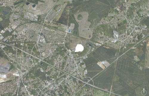
location
Mijnsite Waterschei, Genk, BE
program
-
site
220.000 m²
gfa
-
budget
-
design team
-
photographer
-
visualisation
-
modelmaker
-
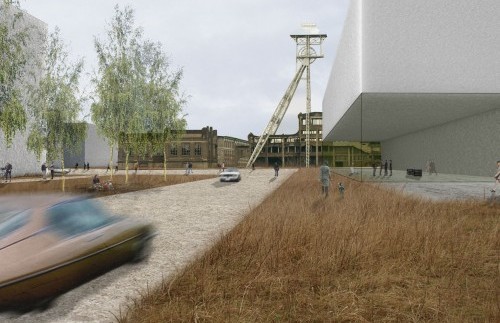
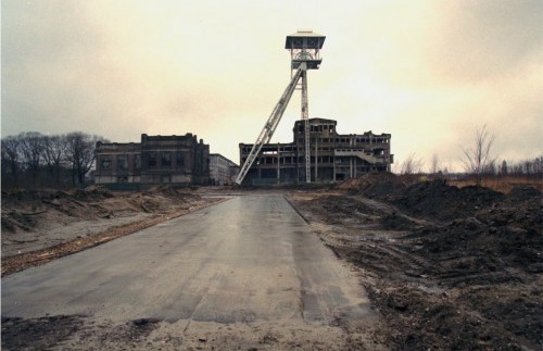
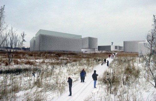
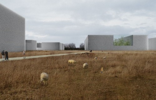
The master plan for the Thor Science Park on the former Waterschei mine site is an exercise in holding on and letting go. Holding on: given the extent of the programme – 220 000m2 of laboratory and office buildings – and its impact on the landscape. Letting go: by virtue of the large degree of uncertainty connected with realising such an extensive programme over the long term.
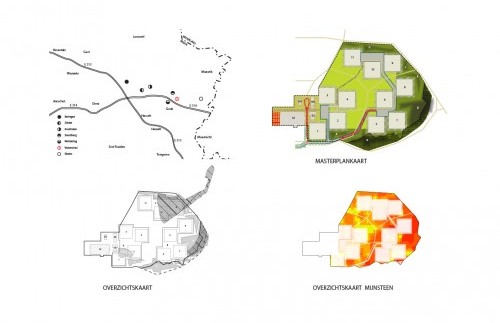
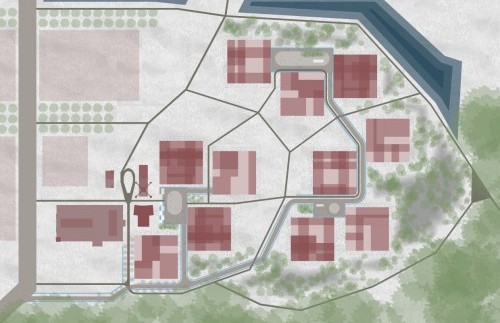
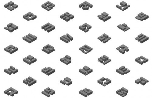
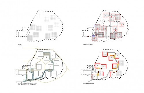
The plan represents a resolute decision in favour of the perpetuation, reinforcement and experience of the existing landscape – and its inherent ecology – as key elements for the future spatial structure. 11 dimensionally equivalent building clusters form an ensemble on the site. Their respective positioning is determined by the soil composition, view, orientation, accessibility, etc. but also in such a way that the existing landscape is reinforced, lived more intensely and to a large extent can be “let go” as a function of the development of a natural habitat. At the same time, each cluster is given its own specific identity through its location in the landscape.
The existing, grassy habitat is complemented in our plan by a hardened space between and around the historic mine buildings: a robust infrastructural landscape that consists of the necessary roads and a dynamic, hilly landscape which defines the contours of the science park built up from old mine dumps created during ground works at the site.
The building clusters themselves afford a great deal of freedom. The design guidelines for the clusters are all aligned with the relation(s) of each cluster to its surrounding landscape structure. And they ensure the realisation of all-round quality and a sharpening of the transition from built-up to vacant land as a function of how the space is experienced and used.